
Rainforest · Northern Zone
Arenal
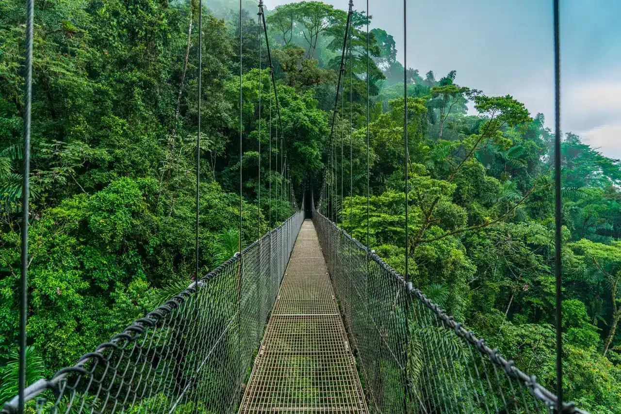
Rainforest trails across old lava flows and hanging bridges through the canopy, with the volcano above and hot springs to end the day.
Most stay 3 nightsRead the guide
Seven places to walk into the rainforest or the cloud forest, on one map. From the trails below Arenal Volcano to the canals of Tortuguero and Corcovado on the Osa Peninsula.
In more places than most people expect, and the forest changes with the height and the coast. Most of our clients meet it first at Arenal, on trails across the old lava flows, and again at Manuel Antonio, where it runs down to the beach. Up in the mountains it turns to cloud forest, at Monteverde and in the San Gerardo de Dota valley, home of the quetzal. The deepest lowland rainforest is at Tortuguero on the Caribbean and in Corcovado National Park on the Osa Peninsula, which can only be walked with a guide. Guanacaste, in the dry northwest, has dry forest instead.
Seven places to see it, numbered from the ones our clients visit most.
Each one links to our full guide: how to get there, where to stay and what our clients book there.
Rainforest trails across old lava flows and hanging bridges through the canopy, with the volcano above and hot springs to end the day.
A cloud forest you can walk inside, protected by three reserves, where some 400 species of birds live or pass through, the resplendent quetzal among them.
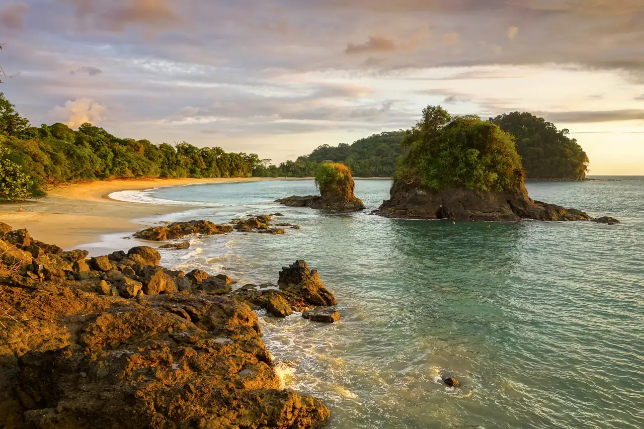
Rainforest that runs down to white sand, with capuchin monkeys and sloths often in the trees right above the beach.
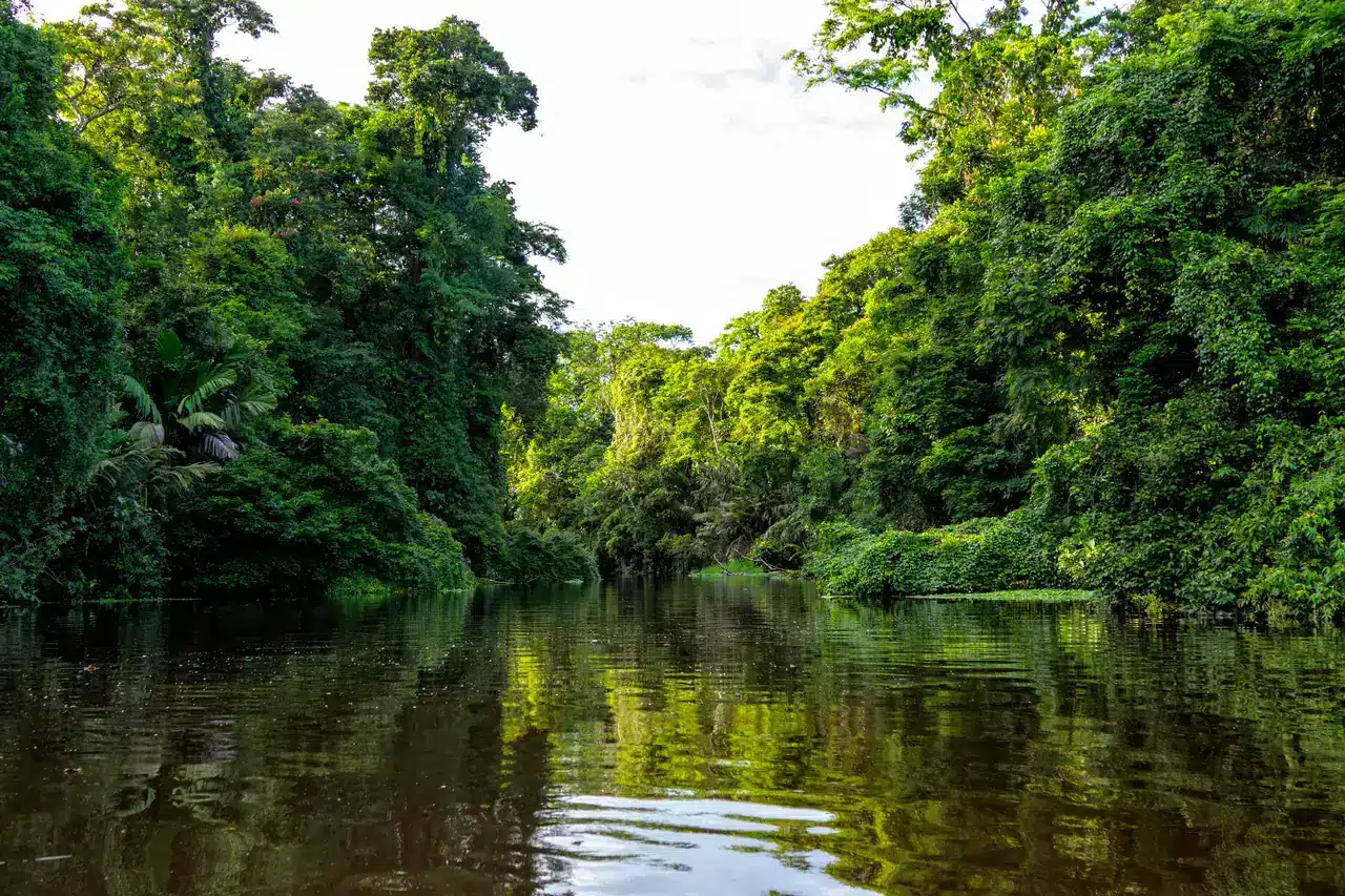
Quiet canals through one of the largest protected rainforests left in Central America, reached only by boat or small plane.
The way in to Corcovado National Park, home to 13 major ecosystems, monkeys, tapirs and scarlet macaws. Corcovado can only be hiked with a guide.
A cloud forest valley at 2,200 metres where the resplendent quetzal lives all year, easiest to see in April and May.
River country in the northern lowlands, home to the La Selva Biological Station and one of the last places to see the endangered green macaw.
Not all of it, and not one kind of forest. There is lowland rainforest on the Caribbean and the Osa Peninsula, cloud forest high in the mountains at Monteverde and San Gerardo de Dota, and dry forest in Guanacaste, where it rains far less.
The easiest to reach is around Arenal Volcano and in Manuel Antonio National Park, the two places our clients visit most. For deeper rainforest, Tortuguero is reached by shuttle and boat from San José, and Corcovado by boat from Sierpe or a short flight to Drake Bay.
Height. Cloud forest grows high in the mountains, where a thin veil of cloud drifts just below the canopy and turns to water on the leaves. Lowland rainforest is hotter and wetter: Tortuguero is one of the hottest and rainiest places in Costa Rica.
Sloths, howler and capuchin monkeys, scarlet macaws and poison dart frogs are some of the best known. Some 400 species of birds live in or pass through Monteverde, the resplendent quetzal among them. A guide finds the ones you would walk straight past.
December to April brings the clearest skies at Arenal, and January to May the best weather in Monteverde. It rains in every month, so pack rain gear wherever you go. At Tortuguero, green turtles nest from June to October.
We recommend one everywhere, because wildlife is hard to spot and a guide sees what you miss. In Corcovado National Park it is required, and every Corcovado tour we book includes one.
Tell us what you love. A Costa Rica Specialist builds a custom itinerary around it, with private transfers, hotels we know and our team on call 24/7 while you travel.